Domaine public
Description
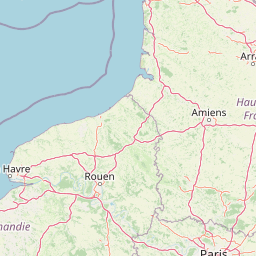
Domaine public : différence entre le parcellaire cadastré des Hauts-de-France (domaine privé cadastré des particuliers, entreprises et collectivités territoriales. Source : DGFIP - PCI Vecteur 2018) et l’emprise des communes de la région Hauts-de-France (IGN - BD topo 2018). La différence donne pour résultat le domaine public par commune (soit le parcellaire non cadastré, par commune).
Publisher
Attributions
Géo2France (Publisher)
This dataset come from an external portal. View the original source.
Latest update
August 19, 2024
License
License Not Specified
Metadata quality:
Data description filled
Files documentation missing
License filled
Update frequency not set
File formats are open
Temporal coverage not set
Spatial coverage filled
All files are available
Metadata quality
Files documentation missing
Update frequency not set
Temporal coverage not set
There are no reuses for this dataset yet.
There are no discussions for this dataset yet.
There are no community resources for this dataset yet.
Information
Tags
License
License Not Specified
ID
66c2ff2e4ea0a9d2ba6a62d7
Temporality
Creation
March 23, 2020
Latest update
August 19, 2024
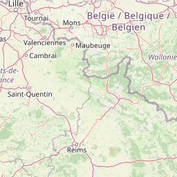
Spatial coverage
Territorial coverage granularity
Other
Actions
Embed
Harvest
modified_at
None
archived_at
None
archived
None
backend
CSW-DCAT
created_at
2020-03-23 00:00:00
source_id
66b35f93822270e51629af62
remote_id
https://www.geo2france.fr/domaine_public
domain
www.geo2france.fr
last_update
2025-05-01 00:06:01.679000
remote_url
https://www.geo2france.fr/geonetwork/srv/resources/datasets/https://www.geo2france.fr/domaine_public
uri
https://www.geo2france.fr/geonetwork/srv/resources/datasets/https://www.geo2france.fr/domaine_public
dct_identifier
https://www.geo2france.fr/domaine_public
Statistics for the year
Views
535
Downloads
46
Reuses of this dataset
0
Followers
0