
Contours des régions françaises sur OpenStreetMap
From
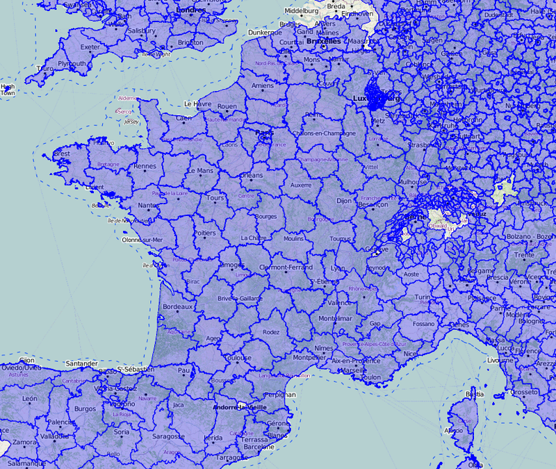
Exports du découpage administratif français au niveau régional (contours des régions) issu d'OpenStreetMap produit dans sa grande majorité à partir du cadastre. Ces données sont issues du crowdsourcing effectué par les contributeurs au projet OpenStreetMap et sont sous licence ODbL qui impose un…
Metadata quality:
Data description filled
Files documented
License filled
Update frequency not followed
File formats are open
Temporal coverage filled
Spatial coverage filled
Some files are unavailable
Updated on 4 de enero de 2018