
Modèles Numériques de Terrain (MNT) des îles de la Polynésie-Française (MNT PF) MNT PF
From
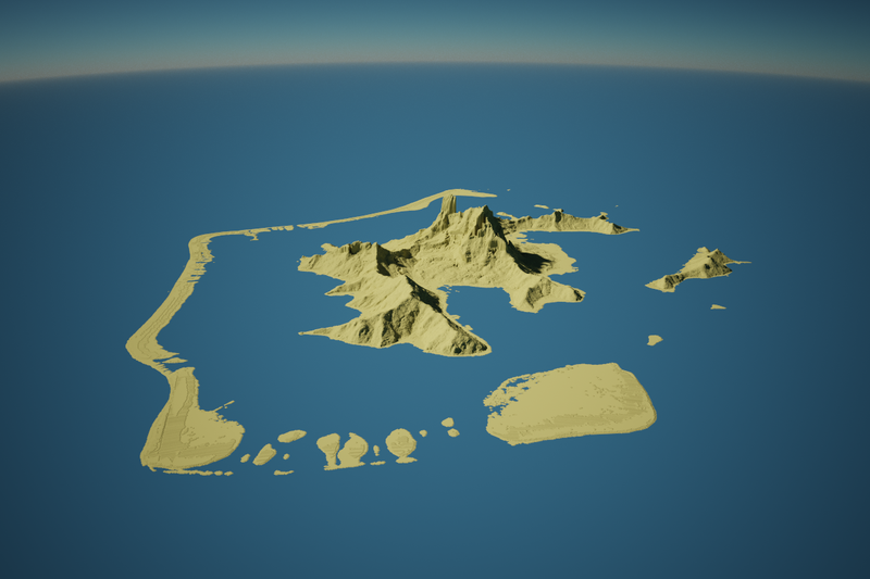
Ce jeux de donnée regroupe l'ensemble des modèles numériques de terrain maintenue par la section topographie du Service de l'urbanisme de la Polynésie-Française. Les MNT ont été réalisés à partir de couples stéréoscopiques issues de prises de vue aériennes et/ou satellitaire ainsi que de levées…
Metadata quality:
Data description filled
Files documented
License filled
Update frequency followed
File formats are open
Temporal coverage filled
Spatial coverage filled
All files are available
Updated on April 13, 2021