
ROUTE 500®
From
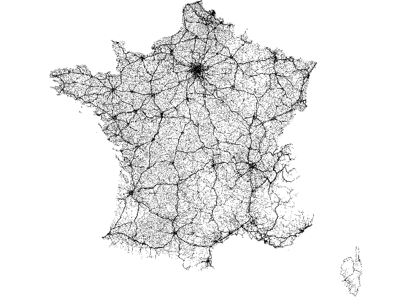
ROUTE 500® était la base de données routières décrivant 500 000 km de routes du réseau classé (autoroutes, nationales, départementales) et des éléments d'habillage à des échelles nationales et régionales. Depuis l’édition 2019, ROUTE 500® correspond au réseau routier de la BD CARTO®. ROUTE 500®…
Updated today