Project-OSRM

Description

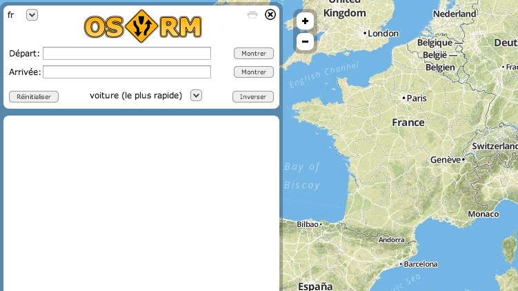
Calcul d'itinéraires sur données OpenStreetMap et fond de carte OSM.

Topic

Others

Type

Application

Tags

  • autoroutes

  • campings

  • cinema

  • commerce

  • contours

  • crowdsourcing

  • geographie

  • geographique

  • geolocalisation

  • geolocalise

  • hopital

  • hopitaux

  • hotels

  • limites-administratives

  • limites-politiques

  • musees

  • occupation-du-sol

  • openstreetmap

  • osm

  • pharmacie

  • restaurants

  • routes

  • routes-departementales

  • rue

Creation date

December 21, 2013

Last update

April 30, 2024

1 used dataset

Statistics for the year

Views

628

34 in Dec 2024

Followers

0

Discussions

There are no discussions for this reuse yet.

4 reuses from the same creator