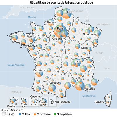
Cartographier les données sur l'emploi dans la fonction publique par département
Description
Utilisation de France découverte (Géoclip) pour importer les données et les cartographier.
Topic
Work and training
Type
Visualization
Tags
Creation date
June 1, 2017
Last update
April 26, 2024
0 used datasets
Statistics for the year
Views
125
Followers
0
Discussions
There are no discussions for this reuse yet.